Intervention Management
Interventions
One of the main features of Ibex, is the ability to record and consult the interventions made on the trails.
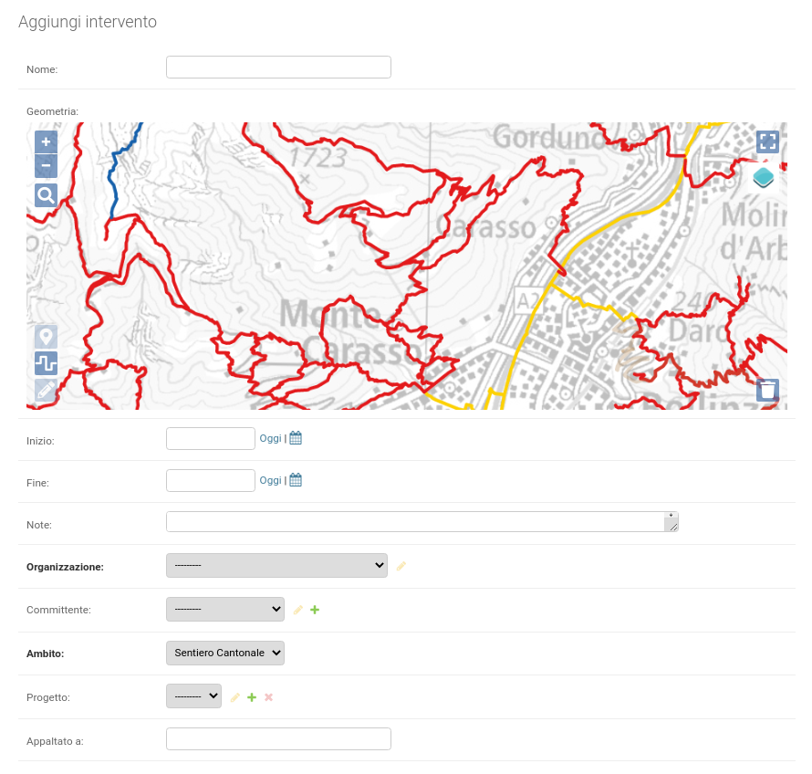
An intervention contains general information about the intervention:
- name
- start and end date
- notes
- client
- scope
- project (if the intervention is part of a project)
and then you can add one or more other items as needed:
- work performed (indicating duration, type, collaborators)
- contracted work (indicating contractor, type and cost)
- machinery used
- materials used
- vehicles used
- invoices
- documents
- photos
Geometries
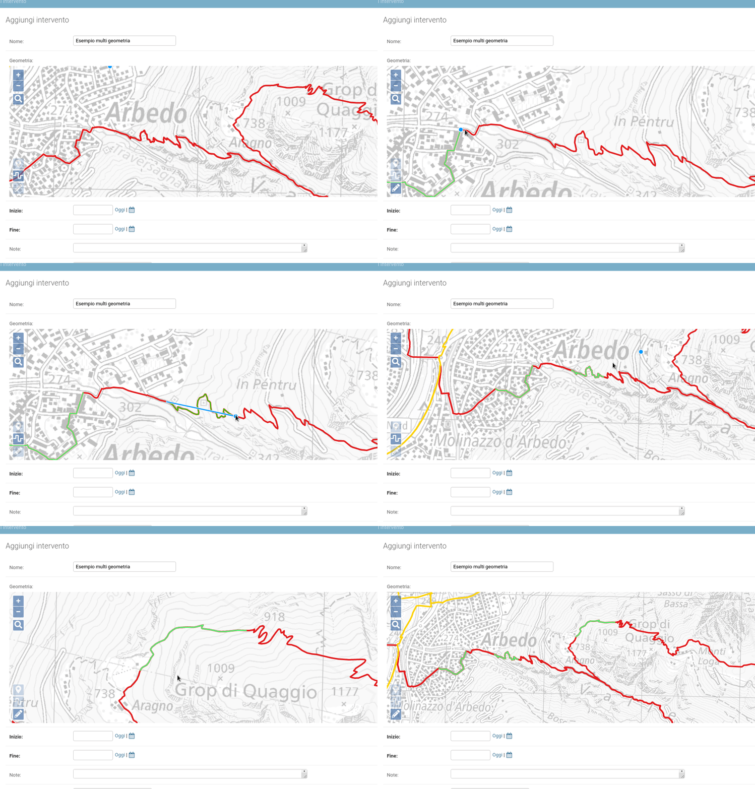
The geometry of the intervention can be line or point type. It is also possible to insert multi-part geometries, for example, with 2 path sections separated from each other.

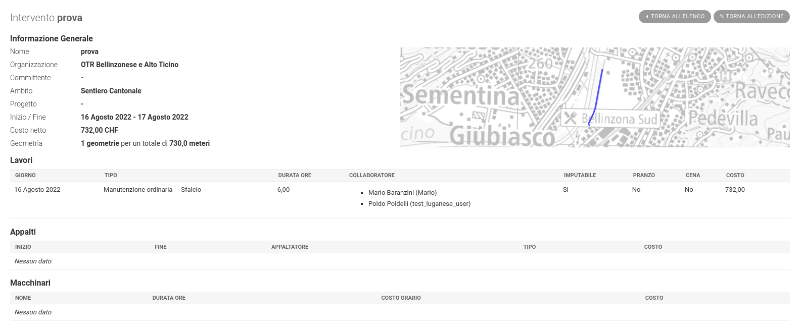
Summary tab.
After the intervention is entered, a summary tab of the intervention is shown. You can return to the intervention editing form via the buttons in the upper right corner.
You can also directly access the summary tab view from the list of interventions, via the eye icon next to the intervention name.
The summary sheet, is configured to be easily printable via normal browser functionality.
Report by intervention.
On the interventions page, you can select one or more interventions and generate a report with information about the selected interventions. It is possible to perform the same operation on all interventions belonging to a project, starting from the projects page.
Projects.
One or more interventions can be part of a project. When creating (or editing) an intervention, you can select the project from a drop-down menu showing existing active projects. When the page with the list of projects is opened, by default the filter is set to show only active projects.
Catalogs
Some items such as machinery, material, vehicles, holidays, absence types, and intervention types are recorded in catalogs. At the time of entering one of these elements for example in an intervention, you are offered to select the element from the catalog. The catalogs contain common elements, entered by TicinoSentieri that are visible and usable by everyone and then each regional organization has the option to add other elements that will be visible only by the users of the organization.
Reports.
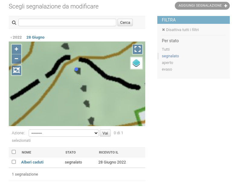
The "Reports" template allows you to add a report, indicating the geometry (point type) on the map, status and adding documents and photos if necessary. When the page with the list of reports is opened, by default the filter is set to show only reports with "reported" status.
When a report is added by a local administrator (e.g., from Ticino Sentieri), a summary email is sent to the local administrators of the organization to which the report belongs.


